
Choosing a Playa del Carmen beach
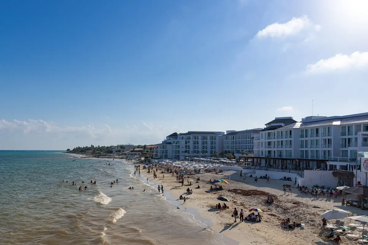
A Playa del Carmen beach visit can fit around a walk in the centre or become a separate outing farther along the coast. Punta Esmeralda is north of the centre and has a freshwater outlet at the beach. Playacar lies to the south. Each gives you a different starting point for planning the journey, so consider where you are staying and how you will return before choosing a stretch of sand.
The waterfront near Parque Fundadores also connects with the southern beginning of Fifth Avenue and the central passenger pier. That makes it useful for orientation, even when your main plan is simply to spend time by the sea. For accommodation decisions, compare the location and practical routes in the area guide.
Public beaches and access
For the 2026 to 2027 season, the municipality named eight public Blue Flag beaches: Punta Esmeralda, Montecarlo, Pelícanos, Playa Cisne, Petrel Norte, Xcalacoco, Playa 72 and Playa 88. The award is useful context for identifying beaches, but it is not a current swimming clearance. Look at the conditions and instructions at the particular beach when you arrive.
A 2024 federal environment ministry statement described free beach access and passage under a 2020 decree. Public access should be considered separately from facilities and services: a beach club, equipment or parking may have its own terms. Decide whether you want an independent beach stop or the facilities of a specific venue, and check the access route and costs for that choice.
Cenote and beach club
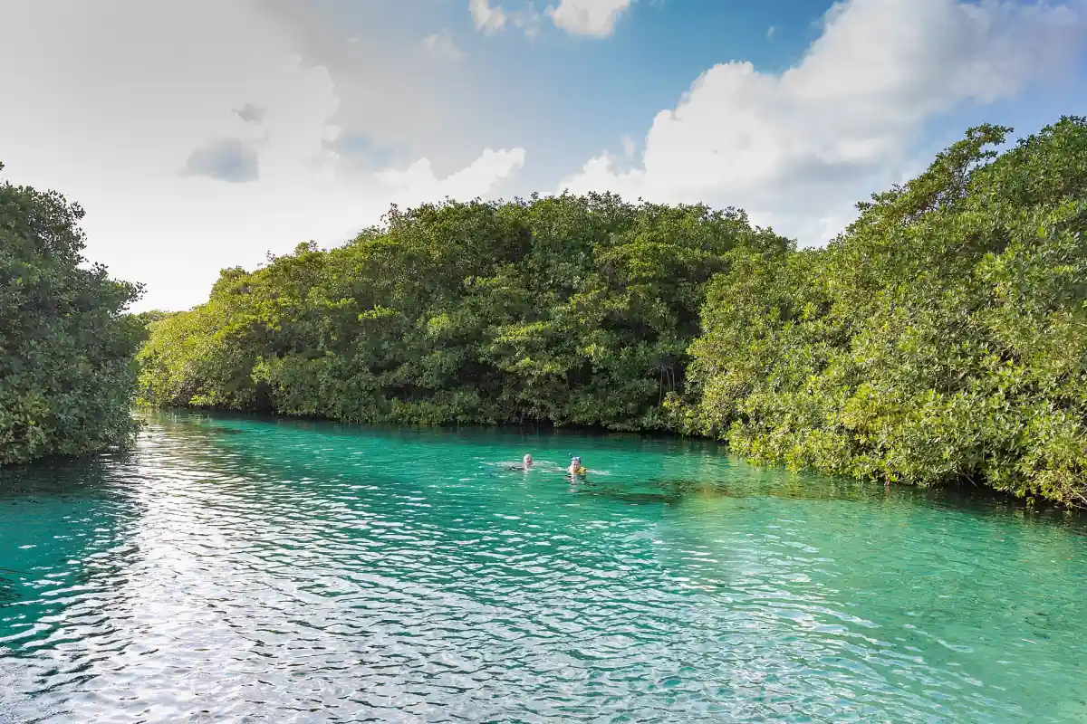
This regional outing combines cenote and beach club admission with a beachside lunch.
Hand-picked tours, booked through Viator. Prices are indicative starting prices in US dollars (as of October 2026). Tap a tour for live availability and the current price in your currency.
A regional beach and cenote outing
This regional excursion combines a beach club lunch with a cenote visit. It is a different experience from visiting Playa's city beaches independently.
Swimming flags and sargassum reports
Two sets of signals answer different questions. A bathing flag and lifeguard instructions concern conditions for entering the water. The state sargassum traffic-light report describes the amount of seaweed: green means low, yellow moderate, orange high and red very high. A colour in the seaweed report is not a substitute for the flag at the beach.
The state government advises visitors to follow lifeguards, especially when red flags are flying, and to supervise children at beaches and pools. Read the local signs and assess the water before entering. If conditions are unsuitable for your group, change the plan rather than relying on a beach name or an earlier report.
Sargassum can vary between beaches and from day to day. The municipality recorded an unusual arrival driven by a southerly wind on 10 January 2026, so even a winter date does not promise a clear shoreline. Consult the current seaweed report close to your visit and keep an alternative activity in mind. The weather guide explains regional climate information, while the season guide helps balance beach time with other plans.
City beach or Riviera Maya beach excursion?
An independent stop gives you control over which local beach you visit and how long you stay. A regional excursion serves a different purpose: the featured trip combines a cenote experience with lunch at a beach club. Its inclusions list a bilingual guide, mandatory life jackets and return transportation from most hotels in Cancún and the Riviera Maya. Review the pickup details and activity conditions for your own booking.
This regional experience should not be mistaken for a tour of all the city beaches. Nor does a beach club lunch establish that every protected-area charge is included. For a closer look at the distinction between ordinary beach swimming and protected-water activities, see the Akumal guide. If clear freshwater is the main appeal, the cenote guide explains bathing rules at individual sites.
Whatever your choice, bring what you need for a comfortable visit and make decisions on the day using the information at the site. Check the flag and seaweed level at your chosen beach on the day, even when a photograph shows a clear shore or the beach has a certification. Having another nearby activity in mind makes a change of plan easier without turning the beach visit into a tightly timed itinerary.
Frequently asked questions
Where is Punta Esmeralda?
It is north of central Playa del Carmen and has a freshwater outlet at the beach.
Does Blue Flag mean swimming is safe today?
The award is not a daily swimming clearance. Follow the beach flag, local signs and lifeguard instructions.
Does a red seaweed report mean the same as a red bathing flag?
No. The seaweed indicator describes sargassum levels; bathing flags communicate water conditions and should be followed separately.
Is the regional excursion a city beach tour?
It combines a cenote experience and beach club lunch. It is not a tour of all Playa's city beaches.